Location
Choice of location
- Search on the map given the address or the cap, interactive adjustment (requires internet connection)
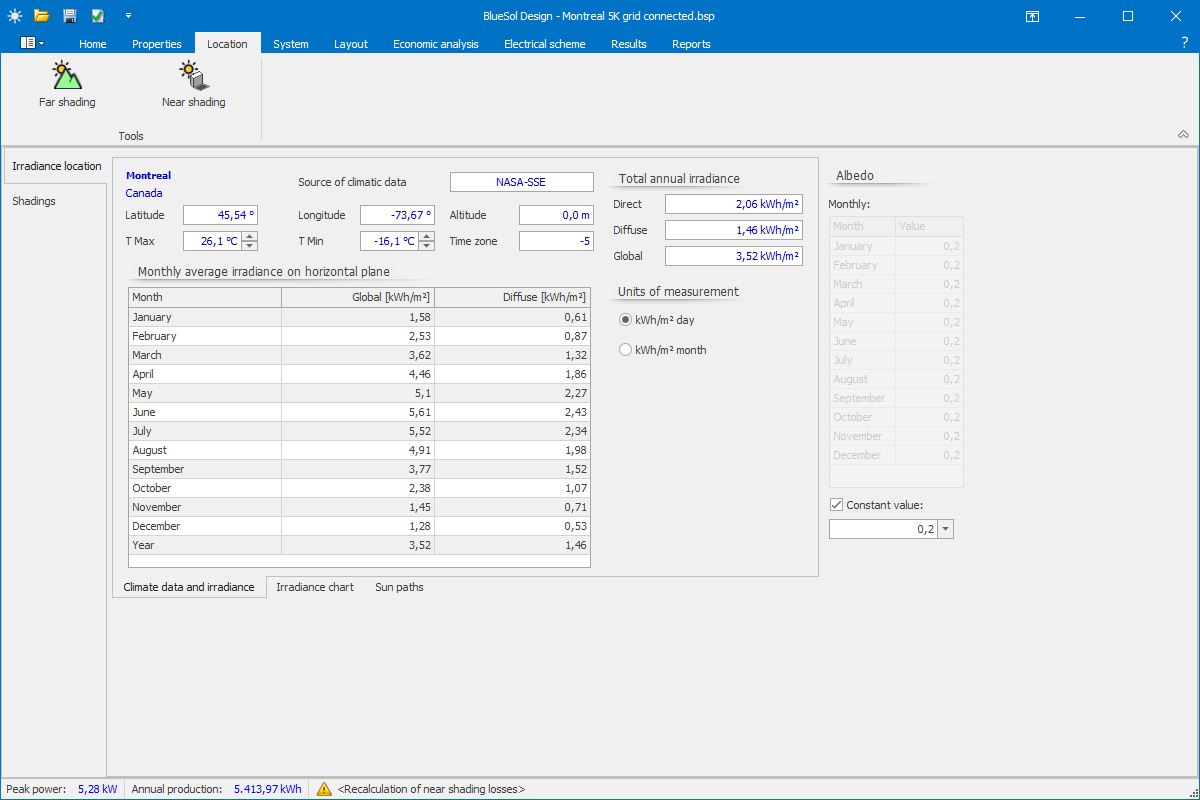
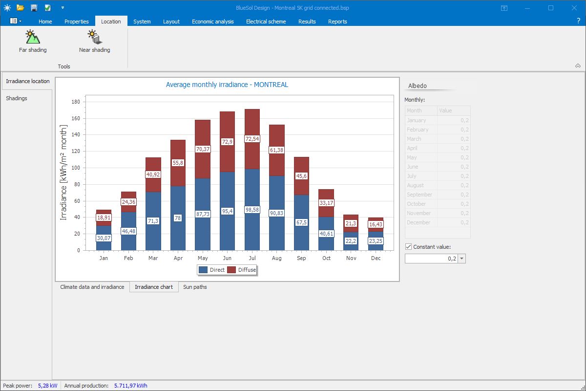
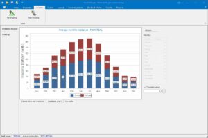
Irradiation
- Choice of locations with average irradiation determination of the most important
- Insertion of new data of irradiation by the user
- Importing of the irradiations from PVGIS
- NASA-SSE world wide irradiations
- Choice of locations and geographical coordinates with the aid of maps (requires internet connection)
- Analysis of azimuth and tilt optimal. Possibility of differentiating the period of the year
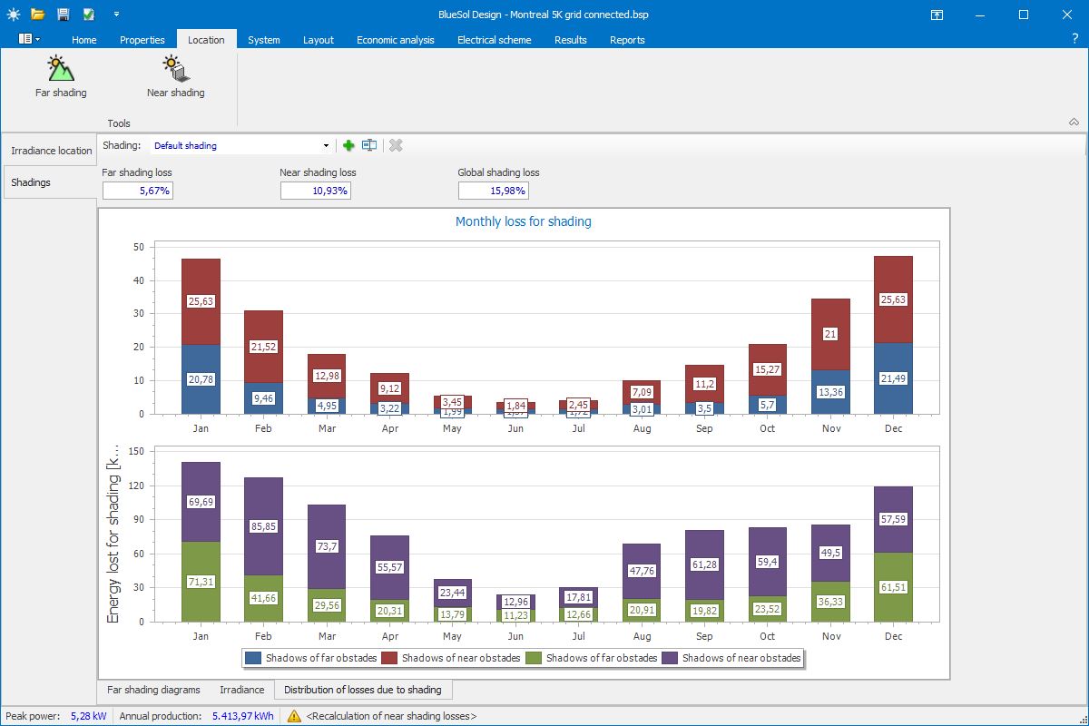
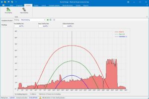
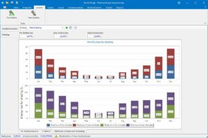
Far shading
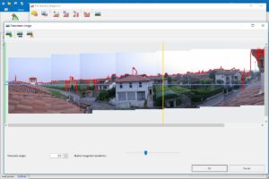
- Automatic insertion of far shading from digital images
- Editing far shading
- Possibility of multiple far shading on the same system
- Importing shading generated by SunEye

